 Machrie Moor is the site of a prehistoric ritual landscape dating from the Neolithic and Bronze Ages and includes several stone circles and chambered cairns.
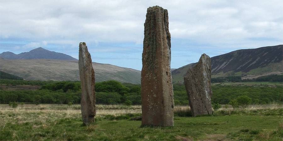
At Machrie Moor 2, three standing stones survive of an original seven or eight in the formerly 45 foot diameter circle. The tallest stone is some 18 feet in height. Stumps of some of the other stones are evident. Upon excavation two cists were found in its interior. One contained a cremation and a food vessel, the other an inhumation burial.
About Machrie Moor Stone Circle 2
Megalithic Portal: Machrie Moor Stone Circle 2
Stone Pages: Machrie Moor 2
Canmore: Machrie Moor 2
Undiscovered Scotland: Machrie Moor Stone Circles
Modern Antiquarian: Machrie Moor Stone Circles
Wikipedia: Stone Circle
Journey to Machrie Moor Stone Circle 2
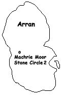
Machrie Moor Stone Circle 2 is located at the end of a 1-1/2 mile track that is off of the A841 (some 200 yards south of the bridge where the main road crosses the Machrie Water) and three miles north of Blackwaterfoot in the western part of the Isle of Arran in North Ayrshire, Scotland.
Ordnance Survey Map (NR9113032420)
Visitors Information
Visitors information for Machrie Moor Stone Circle 2 may be found at the Historic Scotland website. General tourist information may also be found at the Visit Arran website.
Additional Photos of Machrie Moor Stone Circle 2
Road Sign for the Machrie Moor Stone Circles
Beginning of the Path to the Machrie Moor Stone Circles
Approaching Machrie Moor Stone Circle 2
Machrie Moor Stone Circle 2
The Tallest Machrie Moor Stone Circle 2 Stone
One of Three Tall Machrie Moor Stone Circle 2 Stones
One of Three Tall Machrie Moor Stone Circle 2 Stones
Stump of a Fallen Stone, Machrie Moor Stone Circle 2
Close-Up of Tallest Stone, Machrie Moor Stone Circle 2
Looking at Machrie Moor Stone Circle 3 (in the Distance) from Machrie Moor Stone Circle 2
|


