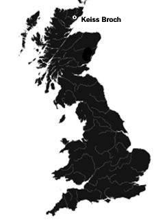
 The ruined Keiss Broch dates dating from the Iron Age. It is visible as a low grass-covered stony mound with a central depression that contains traces of surviving walling and the entrance. It is located on a raised beach overlooking Sinclair's Bay.
Although it is difficult to tell because of overgrown grass and weeds, the broch has been estimated by observers to have "an internal diameter of around 38 feet (11.6 meters) and stands about 6-1/2 feet (2 meters) in height. An entrance with a lintel is visible on the east side of the broch, while exposed boulders indicate the presence of the inner and outer faces of the broch wall. The interior of the broch was divided by flagstone partitions, visible as stones projecting above the turf, while externally there are a number of enclosures. The internal divisions and the outbuildings appear to be secondary to the construction of the broch."
About the Keiss Broch The ruined Keiss Broch dates dating from the Iron Age. It is visible as a low grass-covered stony mound with a central depression that contains traces of surviving walling and the entrance. It is located on a raised beach overlooking Sinclair's Bay.
Although it is difficult to tell because of overgrown grass and weeds, the broch has been estimated by observers to have "an internal diameter of around 38 feet (11.6 meters) and stands about 6-1/2 feet (2 meters) in height. An entrance with a lintel is visible on the east side of the broch, while exposed boulders indicate the presence of the inner and outer faces of the broch wall. The interior of the broch was divided by flagstone partitions, visible as stones projecting above the turf, while externally there are a number of enclosures. The internal divisions and the outbuildings appear to be secondary to the construction of the broch."
About the Keiss Broch
Megalithic Portal: Keiss Broch
Canmore: Keiss Broch
Modern Antiquarian: Keiss Broch
Caithness and Sunderland: Keiss Broch
Historic Environment Scotland: Keiss Broch
Journey to the Keiss Broch
The Keiss Broch is the closest of the two brochs at Keiss and is a short walk along the coastal path that leads to Keiss Castle. The broch is protected by fencing and an old wall that was added around the broch site many years ago. One can walk into and around the broch site to photograph what is left of the it.
Streetmap UK NGR ND35316108.
Visitors Information
Visitors information for the Keiss Broch may be found at the Caithness Broch Project website. General tourist information for North Ronaldsay may be found on the Caithness and Sunderland website.
Additional Photos of the Keiss Broch
Sign at Keiss Harbor Before Keiss Broch
Remains of Wall Surrounding Keiss Broch
Remains of Wall Surrounding Keiss Broch
Remains of Wall Surrounding Keiss Broch
Entrance to Keiss Broch
Portion of Interior of Keiss Broch
|